
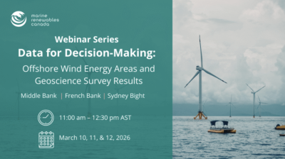
Webinar
Event Access
As offshore wind development continues to progress in Atlantic Canada, access to reliable, high-quality marine data and interpretations play an important role in supporting informed decision-making. This webinar series brings together experts from the Geological Survey of Canada to share insights into the marine geoscience data being used to understand seabed conditions to reduce uncertainty in early project planning.
Across three sessions, speakers will explore how seabed geology, sediment characteristics, geohazards, sediment mobility, and bedrock are assessed in the priority offshore wind energy areas. Each webinar will spotlight one area – Middle Bank, French Bank, or Sydney Bight – with a short regional overview in every session to connect site-specific findings to the broader Atlantic Canadian offshore wind landscape.
Participants will gain insight into:
- What marine geoscience data exists today and how it is collected
- How desktop studies and field campaigns inform early-stage site screening
- Key seabed conditions and constraints relevant to offshore wind infrastructure
- How new data releases and ongoing surveys can be accessed and used
This series is designed for developers, regulators, consultants, researchers, Indigenous and coastal community representatives, and others seeking a clearer understanding of how marine geoscience supports offshore wind planning in Canada.
Each 1.5-hour webinar features expert presentations along with dedicated time for questions and discussion.